Ne ratez plus jamais le train.
Téléchargez Momego.



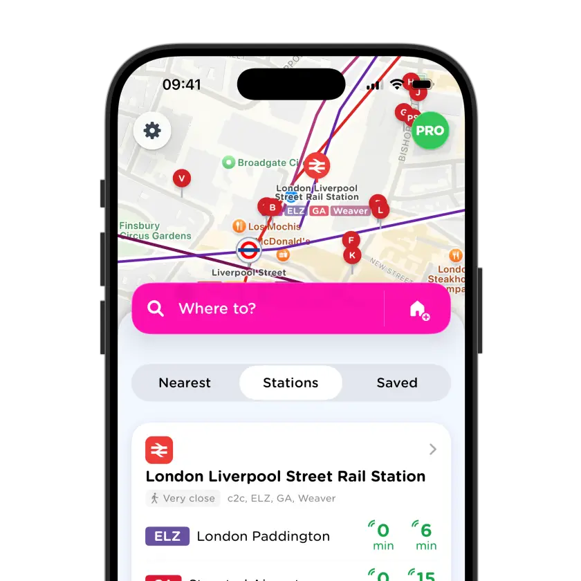
Ne considérez pas la carte ferroviaire de Charleston comme un système unique ; c’est une passerelle régionale ou interurbaine plutôt qu’un réseau urbain complet, avec un transport local nécessaire à une ou aux deux extrémités.
Ne supposez pas que la gare centrale est au centre de chaque voyage ; vérifiez la correspondance suivante avant de choisir une arrivée. Vérifiez la destination et le schéma d’arrêts avant d’embarquer ; la bonne ligne peut encore conduire au mauvais train.
Obtenez Momego gratuitementKing St / Queen St Direction sud
211
King St / Broad St Direction sud
20
King St / Clifford St Direction sud
211
Wentworth St / Coming St Direction sud-ouest
210
King St / Market St Direction sud
211
Broad St / Meeting St Direction est
211
Meeting St / Queen St Direction ouest
20
Meeting St / Broad St
Meeting St / Cumberland St Direction sud
20
Meeting St / Cumberland St Direction nord
20
10
Service from the downtown Charleston Visitor's Center through North Charleston along Rivers Avenue to Trident Medical Center.
Charleston Area Regional Transportation Authority
11
Mary St. Transfer Center in downtown Charleston to Tanger Outlets, and the Charleston International Airport.
Charleston Area Regional Transportation Authority
20
Serves the King St. and Meeting St. corridors on peninsular Charleston.
Charleston Area Regional Transportation Authority
30
Transit service to/from the Citadel Mall to the Charleston Visitors' Center at Ann St. and Transit Mall via Savannah Hwy., and Cannon St./Spring St.
Charleston Area Regional Transportation Authority
31
Transfer Center downtown to James Island
Charleston Area Regional Transportation Authority
33
Rt. 33 operates between the Mary Street Transfer Center and the Bees Ferry Road Bi-Lo. The westbound alignment starts at the Mary Street Transfer Center, travels south on Meeting Street, west on Calhoun Street and accesses St. Andrews Boulevard via the Fielding Connector. The route continues west on St. Andrews Boulevard and Ashley River Road, and turns on Sam Rittenburg Boulevard to Orleans Road and the Citadel Mall. From Citadel Mall, the route continues north on Orleans Road and Tobias Gadson Boulevard to Ashley River Road where it continues north to Bees Ferry Road. The route turns around at the Bees Ferry Road Bi-Lo and returns along the same alignment to the Peninsula.
Charleston Area Regional Transportation Authority
40
Route serves locations between the downtown Charleston Transfer Center, along Hwy 17N in Mt. Pleasant to the Mt. Pleasant Towne Center
Charleston Area Regional Transportation Authority
41
Transfer Center in downtown Charleston to Coleman Blvd. in Mt. Pleasant, including stops at Patriots Point and Waterfront Park.
Charleston Area Regional Transportation Authority
102
Local route from MUSC Campus through the Citadel / Burke High School to the North Charleston SuperStop.
Charleston Area Regional Transportation Authority
203
Service between the Hagood Parking Lot and the Riley Ballpark to Medical District at Jonathan Lucas St.
Charleston Area Regional Transportation Authority
210
Free route along Calhoun St. from Charleston Visitors' Center to the College of Charleston, and on to the SC Aquarium.
Charleston Area Regional Transportation Authority
211
Free route through downtown Charleston historic district (all DASH routes stop at Visitors' Center)
Charleston Area Regional Transportation Authority
213
Free route serving destinations from the Charleston Visitors Center to TTC Palmer Campus, Medical District, VA Hospital, Brittlebank Park along Calhoun St. and Cannon St.
Charleston Area Regional Transportation Authority
XP1
Express Service from T-Mobile on Rivers Ave., which is the N. Charleston Park and Ride location through downtown Charleston to the James Island Wal-Mart, which is the James Island Park and Ride location.
Charleston Area Regional Transportation Authority
XP2
Express Service from the Oakland Wal-Mart (Park and Ride) and the Wando Crossing Wal-Mart (Park and Ride) in Mt. Pleasant with stops in downtown Charleston to Citadel Mall (Park and Ride) in West Ashley.
Charleston Area Regional Transportation Authority
XP3
Express Service from Summerville (Oakbrook Shopping Center) to downtown Charleston (Visitors' Center, MUSC & CofC)
Charleston Area Regional Transportation Authority